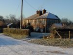
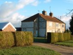
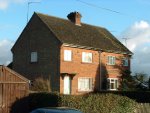
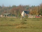
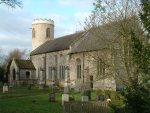
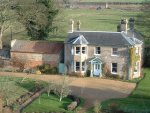
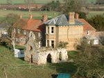
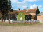
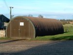
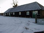
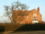
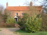
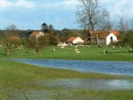
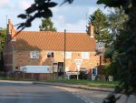
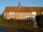
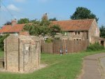
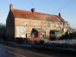
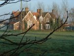
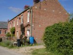
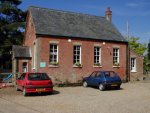
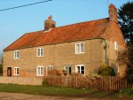
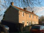
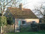
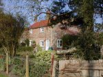
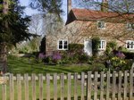
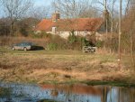
This "album" shows the buildings of the village of East Walton, arranged as a "tour". It may be useful to have a copy of the map on the Home page available. (In most browsers you should be able to right-click over the map and select "Print Picture..." from the menu that appears.)
It starts in the south, at the western end of Wilson's Drove and goes north as far as the old school, opposite where the track from Gallow Hill joins the main road, 250yds north of the Post Office. It then continues from the village green, just north of the Post Office, making the turn westwards towards the old Chapel and the Common.
If you have interesting pictures of the village's buildings that you would like to see included on the site, then please use the Feedback Form to make initial contact.
Page updated: 11 February 2005